

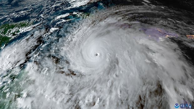

As of the current moment, the Atlantic hurricane season has seen only six named storms, with most of them being short-lived. The reduced hurricane activity can be attributed to the dominant El Niño event this year, according to Phil Klotzbach, a senior research scientist at Colorado State University.
El Niño, a component of the El Niño-Southern Oscillation (ENSO) cycle, affects the central Pacific Ocean’s water temperatures and atmospheric winds. This year’s “super” El Niño is significantly suppressing Atlantic hurricane formation.
The warming of Pacific waters by 0.5 degrees Celsius signifies an El Niño event, while a cooling of 0.5 degrees Celsius indicates a La Niña event, which has global repercussions.
Current projections suggest that this El Niño event could be historic, with potential anomalies exceeding the previous record set in the 1982-1983 winter. The Climate Prediction Center at NOAA forecasts a strong El Niño event with high probabilities of historical significance.
The ongoing El Niño is causing a quiet Atlantic hurricane season, as predicted by NOAA earlier this year. The warmer sea surface temperatures in the Pacific Ocean create vertical wind shear in the Atlantic, disrupting the typical hurricane structure.
Despite the subdued hurricane activity in the Atlantic, there is a possibility of one or two hurricanes forming, particularly in the Gulf of Mexico due to reduced wind shear. However, the Caribbean region still faces significant wind shear, limiting potential storm formations.
Conversely, El Niño tends to increase hurricane activity in the Pacific Ocean, with 16 named storms recorded so far this season. Tropical Storm Fay, almost reaching hurricane strength, formed further north than usual in the Atlantic.
Although the lack of hurricanes in the Atlantic can be linked to El Niño, a few tropical storms in the Gulf of Mexico have impacted coastal communities. The El Niño is expected to peak in late 2026 and persist into 2027, influencing next year’s hurricane season unpredictably.